The Beycik stages
From the sea to the shoulder of Olympos.
In two days the Lycian Way climbs from the beach at Çıralı to a col at about 1,800 metres. Beycik is the night in between, and the place to rest, refill and get ready for the biggest day on the eastern half of the route.
01 Map & profile
Follow the line.
Move along the elevation profile to see where you are on the map. Thin dashed lines are mapped variants of the trail.
Loading map…
- Main route
- Variants
- Beycik Nara
Drag or hover along the profile
Route © OpenStreetMap contributors · Elevation: Copernicus DEM
02 Day by day
Three days, one big climb.
-
Day 1 Çıralı → Ulupınar
- Distance
- 7.8 km
- Ascent
- +481 m
- Descent
- −261 m
- Walking time
- 3–3½ h
- Effort
- Moderate
From the beach the trail climbs through pine to the Chimaera, where flames burn from the rock, then continues through the forest into the green valley of Ulupınar. Springs, plane trees and trout restaurants make it a good place for lunch or a short first day.
- Visit the Chimaera at dusk the evening before if you can.
- Fill your bottles in Ulupınar before the long climb.
-
Day 2 Ulupınar → Beycik
- Distance
- 10.1 km
- Ascent
- +872 m
- Descent
- −75 m
- Walking time
- 4–4½ h
- Effort
- Hard
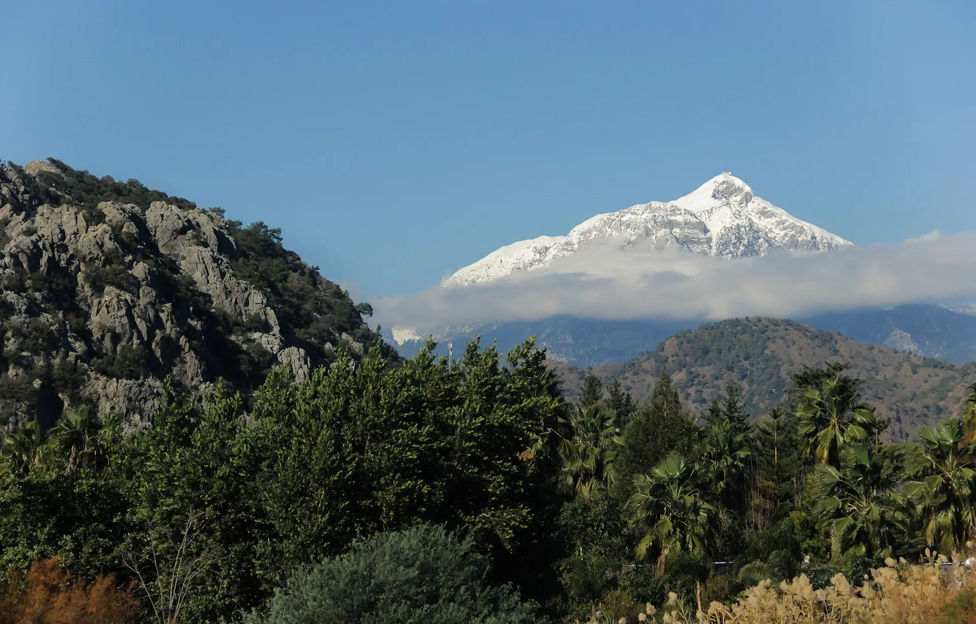
A steady, mostly uphill walk out of the Ulupınar valley, climbing through Turkish red pine to the upper village of Beycik. The views open as you climb: Tekirova and the Gulf of Antalya below, Tahtalı’s grey limestone above.
- In warm months, start early and climb in the cool of the morning.
- Call us when you leave Ulupınar and we will expect you.
-
Day 3 Beycik → Tahtalı col → Yayla Kuzdere
- Distance
- 11.3 km
- Ascent
- +843 m
- Descent
- −947 m
- Walking time
- 7–8 h
- Effort
- Very hard
The big day. The path climbs steeply above the village through pine and cedar forest, then over open limestone to the col on Tahtalı’s shoulder at about 1,800 metres. The descent to the summer pastures of Yayla Kuzdere is long, steep and stony on the knees.
- Leave at first light; this is not a stage to start late.
- Carry enough water for the whole day, and ask us which springs on the mountain are running.
- In winter and early spring snow can lie on the col. Ask us about conditions before you go.
- In cloud, follow paint marks and cairns carefully; do not improvise a line.
Distances and heights are measured on the mapped route with a 90 m elevation model; times are typical walking times without long breaks. Allow more in heat or with a heavy pack.
03 Further north
After Yayla Kuzdere.
From the high pastures the trail continues north through the upland villages of Gedelme and on towards Göynük and Hisarçandır, finishing at Geyikbayırı above Antalya. Many walkers end their trip here; others treat Beycik as a base and walk day loops from the village.