The Lycian Way
Seven hundred kilometres of old roads to the sea.
Turkey’s first long-distance trail follows Roman roads, shepherds’ paths and mule tracks along the coast of ancient Lycia, through pine forest, past rock-cut tombs and down to coves where the only way in is on foot.
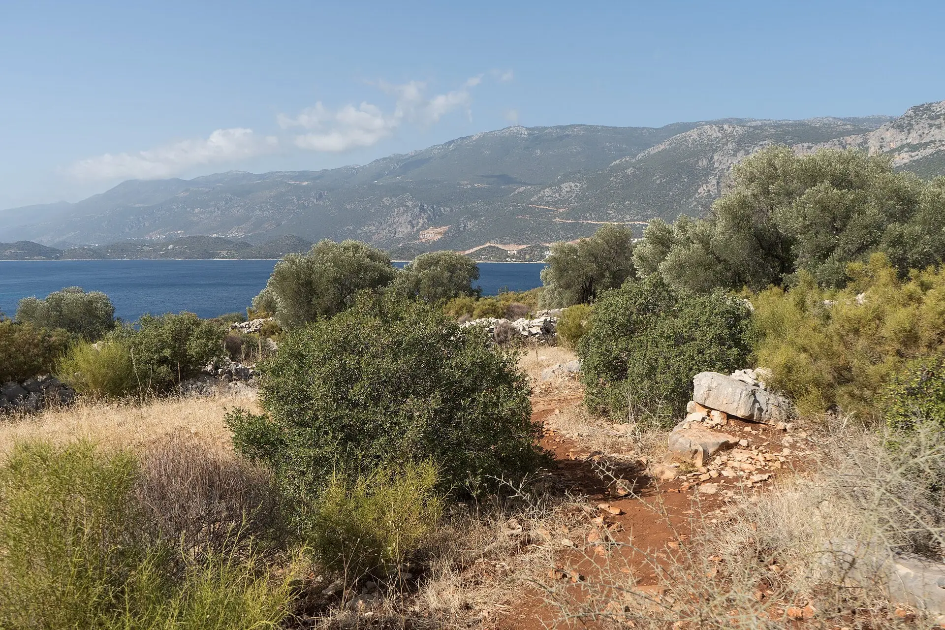
01 The route
A coast walk with a mountain in the middle.
The Lycian Way was researched and waymarked in 1999 by Kate Clow, a British amateur historian living in Antalya, who pieced it together from paths that had connected villages and ancient cities for two thousand years. Today the Culture Routes Society she founded maintains a network of about 760 kilometres from Ölüdeniz near Fethiye to Geyikbayırı above Antalya.
Most walkers do it in sections rather than all at once. The western half is the coast of postcards: cliffs above Butterfly Valley, the long beach at Patara, the sunken city of Kekova. The eastern end is wilder: after Olympos the trail leaves the sea, climbs through Beycik and crosses the shoulder of Tahtalı Dağı at about 1,800 metres before descending through high villages towards Antalya.
Paths are often stony and steep, and some stages run through country with no shops or water. That is exactly the appeal.
02 Route map
From Ölüdeniz to Antalya.
The main line and its variants as mapped on OpenStreetMap. Select a place to read about it; Beycik sits where the trail turns inland at the eastern end.
03 Reading the trail
Red, white and the occasional cairn.
-
Red-and-white stripes
The main waymark: two short painted bars on rocks, walls and tree trunks, roughly every fifty metres on paths and more sparsely along tracks.
-
Yellow signposts
At junctions and villages, metal signs point the way and give the next place on the route.
-
A red cross
Painted across a path, it means wrong way. Turn back to the last stripes you saw.
-
Cairns
Why are cairns called “baba” in Turkish?
Baba, the Turkish word
In Türkiye walkers, shepherds and mountaineers call a cairn a baba, or taş baba: “stone father”. You will hear the word in the villages along the trail.
Its origin is not certain. The usual explanation is an old Anatolian custom: a heap of stones on a pass or a summit was a place of respect, a little like the shrines of holy men, who are also called baba, and every passer-by added a stone. Some writers go further back, to the stone figures early Turkic peoples set up by their graves in Central Asia, which Turkish also calls taş baba.
Leave them as you find them. A new stack in the wrong place can lead the next walker astray.
On open limestone above the tree line, small stacks of stones carry the line between paint marks. In cloud, go from one to the next.
Go deeper
Everything walkers ask us.
-
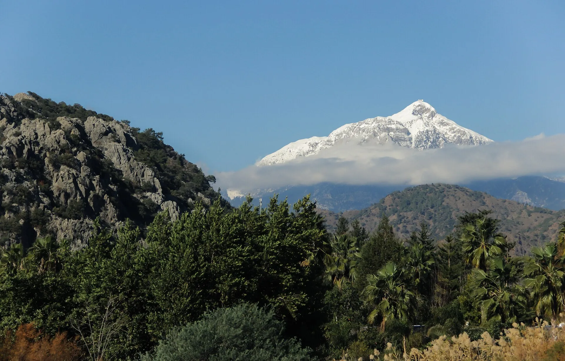 © Güney Özdamar · CC BY-SA 4.0 02 The Beycik stages Map, elevation profile and day-by-day notes from Çıralı over Tahtalı to Yayla Kuzdere.
 -
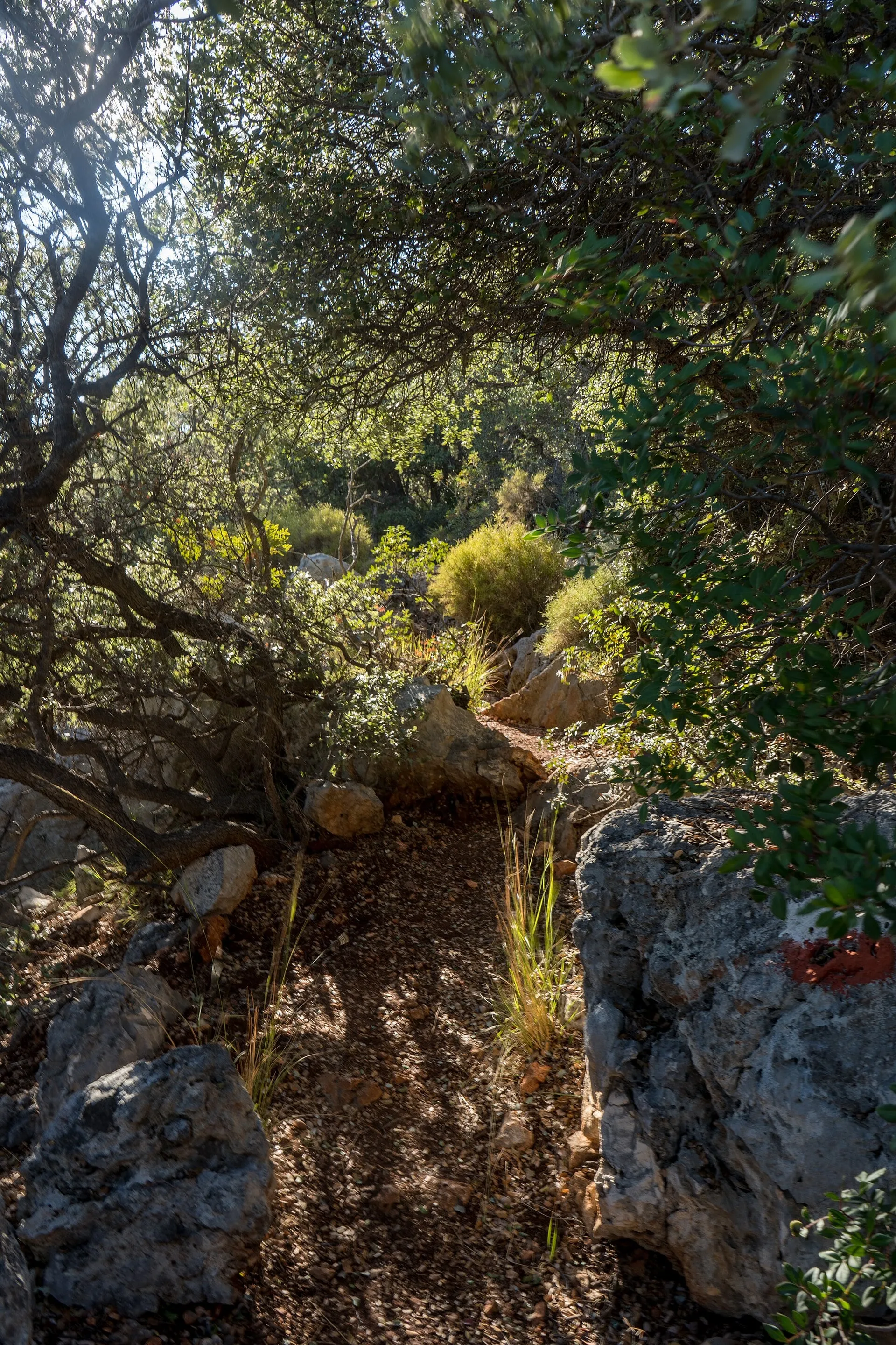 © Alexkom000 · CC BY 4.0 03 Plan your walk Seasons and climate at three altitudes, a packing list, water, safety and useful tools.
 -
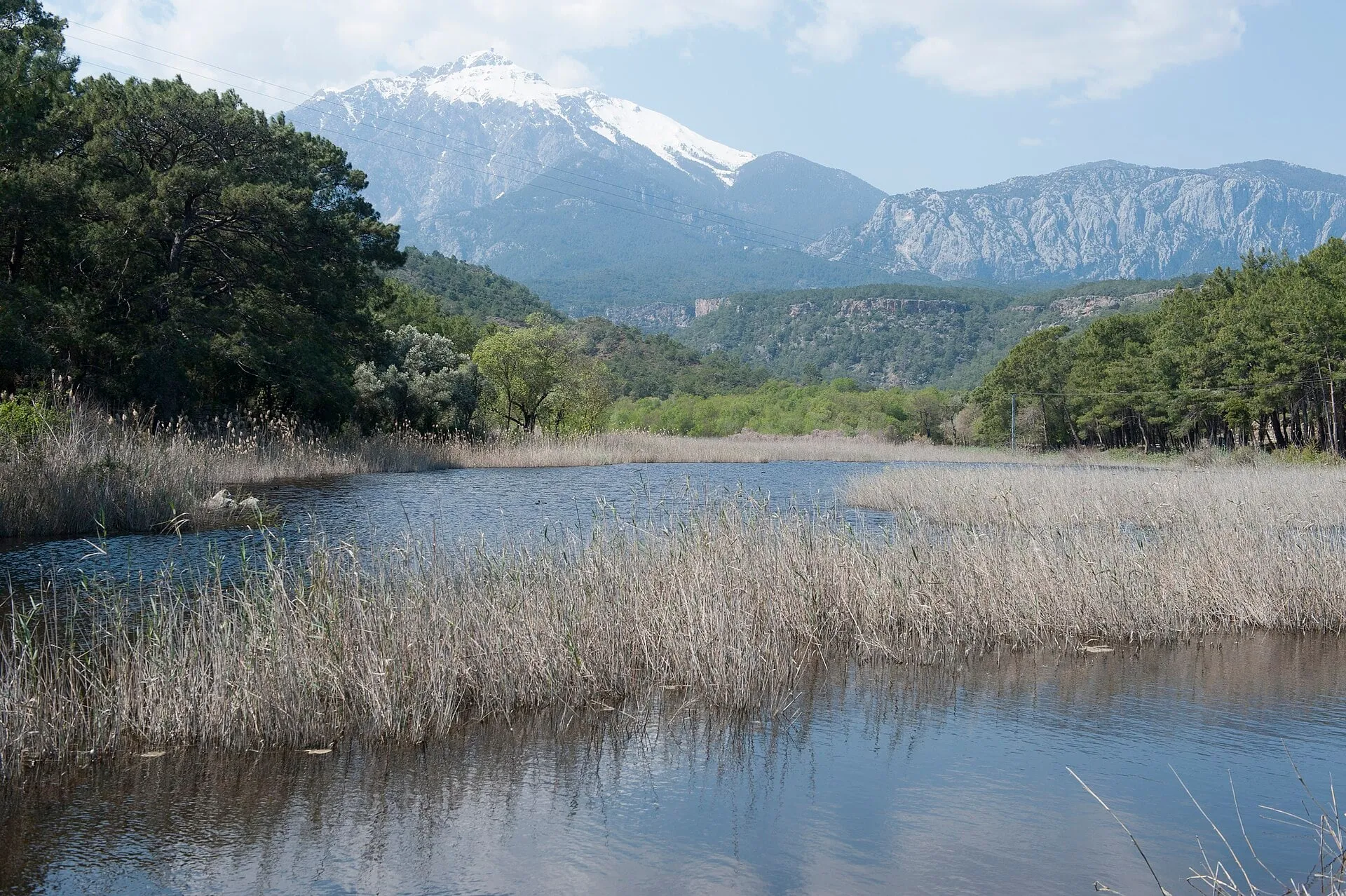 © Dosseman · CC BY-SA 4.0 04 Nature & altitude From turtle beach to limestone summit: the life zones you climb through in a single day.
 -
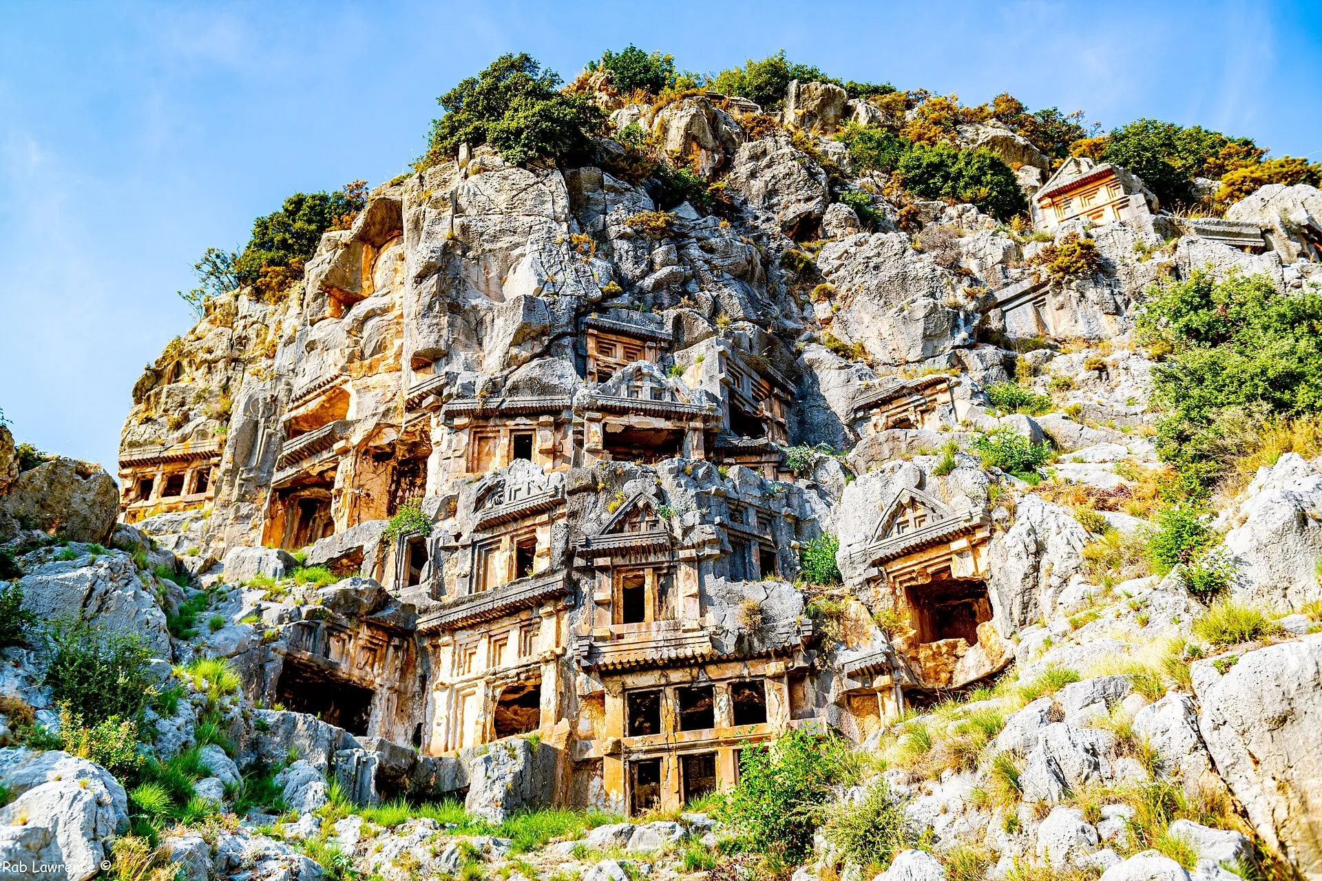 © Rab Lawrence · CC BY 2.0 05 Lycia in history Rock tombs, a league of cities, pirates and a fire-breathing monster.